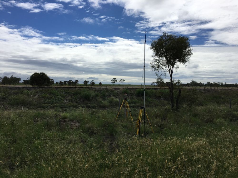
Ground Control Survey-LiDAR
Warra, Western Downs
CadCon was contracted to perform ground control survey for LiDAR Projects along the Warrego Highway near Warra. CadCon travelled to site and established a base station and surveyed sections of the highway as well as structures to be used to orientate and check the LiDAR data captured over the site.