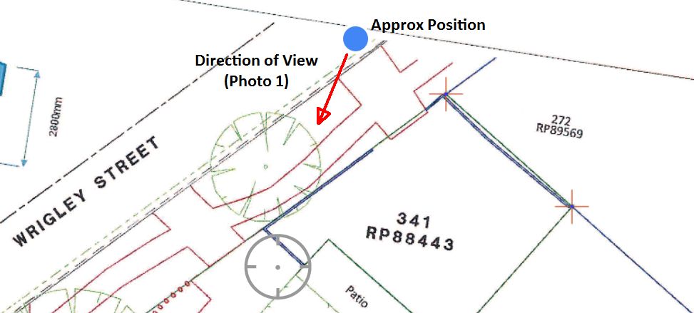
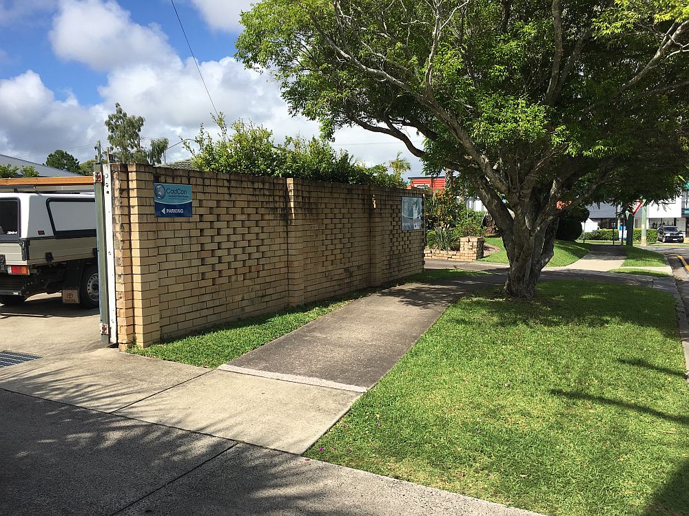
CadCon Surveying & Town Planning offers the option of turning your Detail Survey Plan (or any other plan/map) into a GeoReferenced Map able to be viewed on your Smart Phone or Tablet. A GeoReferenced Map utilises the GPS in your Smart Phone/Tablet to indicate your position (to an accuracy of +-2m) on a specially produced map using readily available apps (such as Avenza PDF Maps on iOS http://www.avenza.com/pdf-maps). This can be useful in understanding and interpreting the data shown on a map by walking the site and seeing your approximate position displayed on the map and relating it to the features in your surrounds.
Top